residential
Jumbi Residential Villa
Residential villa
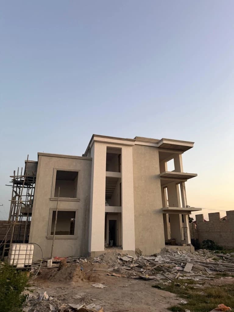
Construction of a two-storey residential villa in Jumbi, Zanzibar, with plastered façades, window openings and balcony voids still in progress.
View project
02 / Service
Surveying and registration support establishes the land context relevant to project planning and development.

Land surveying and mapping
Boundary identification and verification
01 / Service overview
ACE Group approaches land surveying and registration as an early project discipline that helps clarify the site context, boundaries and planning information relevant to the agreed scope.
Clearer land and site information for the next applicable project decisions.
Scope is confirmed against the project requirements and applicable ACE Group disciplines.
02 / What the service includes
Each capability is applied according to the confirmed project scope.
Record and organise site information relevant to the agreed surveying scope.
Review boundary information and physical context as part of the applicable survey work.
Support subdivision and planning discussions with the relevant land information.
Assist with the project information relevant to land registration documentation without presenting legal advice.
03 / Who this service is for
Relevance depends on the service need and project requirements.
Homeowners
Property developers
Businesses
Commercial clients
Institutions
04 / ACE Group delivery process
The steps remain flexible because sequence and scope depend on the project.
Discuss the land context and the intended project need.
Review the available site and boundary information relevant to the scope.
Carry out the agreed surveying and mapping work.
Organise the resulting information for the next applicable planning or design discussion.
05 / Technical considerations
These are discussion points, not legal or engineering advice for a specific project.
Available land information
Site access and physical conditions
Boundary context
Coordination with planning and design disciplines
Applicable approvals and documentation
06 / Related capabilities
These relationships are curated from the typed service model.
07 / Related projects
residential
Residential villa
Construction of a two-storey residential villa in Jumbi, Zanzibar, with plastered façades, window openings and balcony voids still in progress.
View project08 / FAQ
Answers stay general until the project scope is reviewed.
Ask another questionThe scope is discussed against the project requirements and the ACE Group disciplines that may be relevant.
Available project information, the intended outcome and known site or building context help begin the discussion. The specific information requested depends on the service.
Timing depends on the agreed scope, project information and coordination needs. A fixed duration is not published without project review.
Detail requires ACE Group confirmation.
No. The relevant survey activity depends on the land context and project requirements.
09 / Service enquiry
Share the project requirements and select Land Surveying and Registration in the structured quote request.